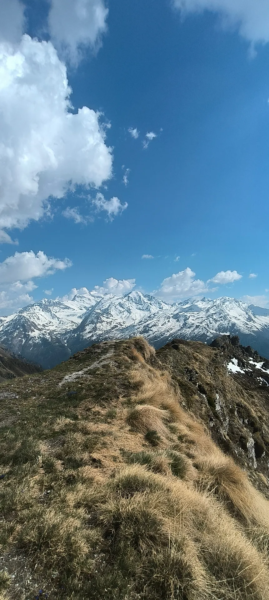
Hike · Val de Bagnes
Old Levron bisse
At a glance
- Distance
- 2.51 km
- Climb
- 50 m
- Descent
- 124 m
- Highest point
- 2233 m
- Loop
- no, one way
- Starts from the chalet
- no
- Estimated time
- 1 h
Estimated time: 1 h per 4 km plus 1 h per 400 m of climb, rounded to the nearest 30 minutes.
The route
The start lies about 2 km from the chalet as the crow flies, at around 2,230 m: this is not a walk from the chalet door.
The track heads west along the bisse, almost level, dropping gently to around 2,155 m. It ends nearly 2 km from the start, so plan to walk back the same way or arrange another option.
When to go
Usually from late June to early October, as the route stays above 2,150 m.
Snow cover varies from year to year: check conditions before you go.
Distance
2.51 km
Ascent
50 m
Descent
124 m
Max altitude
2233 m
Distance and elevation computed from the GPX track.
Historic irrigation channel walk with mountain views
Route map
Your base camp in Sarreyer
Le Gypaète is a chalet for 6 in the heart of Val de Bagnes. Come back from your hike to the stove and a terrace facing the mountains.
Check availability