Hike · Val de Bagnes
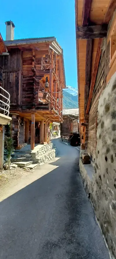
Sarreyer village loop
At a glance
- Distance
- 5.71 km
- Climb
- 351 m
- Descent
- 342 m
- Highest point
- 1537 m
- Loop
- yes
- Starts from the chalet
- yes
- Estimated time
- 2 h 30
Estimated time: 1 h per 4 km plus 1 h per 400 m of climb, rounded to the nearest 30 minutes.
The route
The loop starts right outside the chalet, at around 1,530 m, and first heads down to the south-east towards Sarreyer village.
The low point, around 1,245 m, comes halfway, about 3 km from the start. The second half then climbs gently back up to the chalet, for about 350 m of climbing in total.
When to go
Usually from May to November, as the loop stays below 1,550 m.
Snow cover varies from year to year: check conditions before you go.
Distance
5.71 km
Ascent
351 m
Descent
342 m
Max altitude
1537 m
Distance and elevation computed from the GPX track.
Charming village circuit with local heritage
Route map
Your base camp in Sarreyer
Le Gypaète is a chalet for 6 in the heart of Val de Bagnes. Come back from your hike to the stove and a terrace facing the mountains.
Check availability