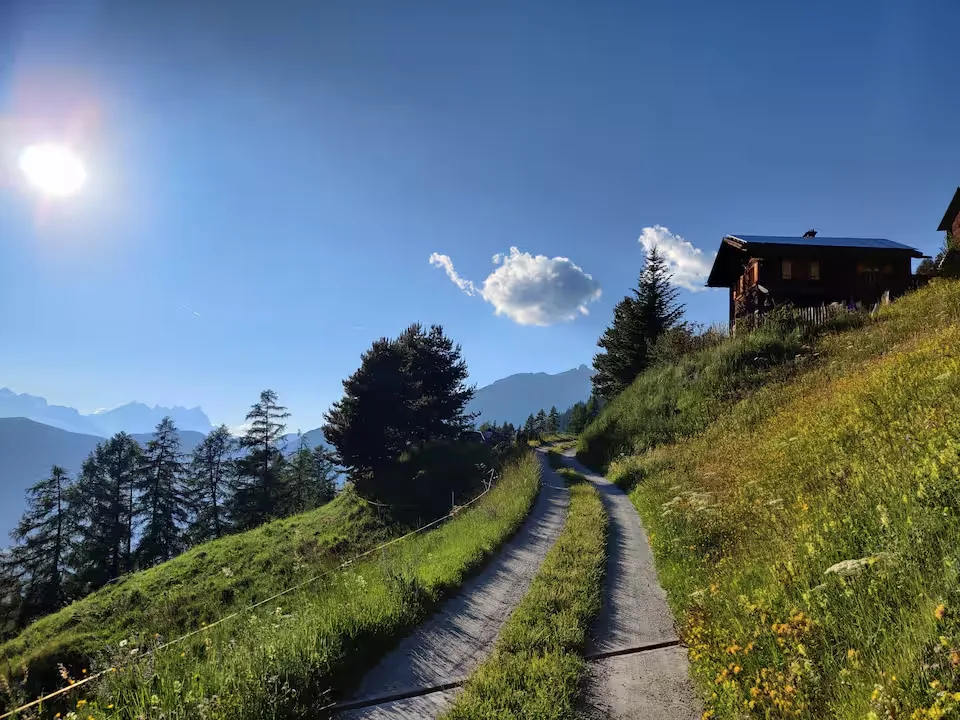
Hike · Val de Bagnes
Chamois trail
A proper mountain day: backpack, picnic and high trails where you scan the slopes for chamois. You come back to the chalet with tired legs and a head full of wide open space.
All hikes
Distance
11.54 km
Ascent
643 m
Descent
1391 m
Max altitude
2648 m
ModerateOne way
Distance and elevation computed from the GPX track.
Chamois trail starting from the Mayen via la Chaux in Val de Bagnes
Route map
Your base camp in Sarreyer
Le Gypaète is a chalet for 6 in the heart of Val de Bagnes. Come back from your hike to the stove and a terrace facing the mountains.
Check availability