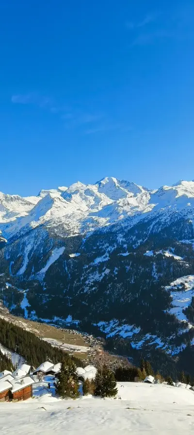
Hike · Val de Bagnes
Tour du Bec des Rosses
At a glance
- Distance
- 20.66 km
- Climb
- not available
- Descent
- not available
- Highest point
- not available
- Loop
- yes
- Starts from the chalet
- no
- Estimated time
- cannot be computed without elevation
Estimated time: 1 h per 4 km plus 1 h per 400 m of climb, rounded to the nearest 30 minutes.
The route
The 20.7 km loop starts about 2 km from the chalet as the crow flies and returns there, circling the Bec des Rosses. It first heads off to the south-east.
The track has no elevation data, so the climb, descent and high point cannot be shown here.
When to go
Usually from July to September, as the route runs through high mountain terrain around the Bec des Rosses.
Snow cover varies from year to year: check conditions before you go.
Distance
20.66 km
Distance and elevation computed from the GPX track.
Epic mountain tour starting from Ruinettes, accessible from the mayen
Route map
Your base camp in Sarreyer
Le Gypaète is a chalet for 6 in the heart of Val de Bagnes. Come back from your hike to the stove and a terrace facing the mountains.
Check availability