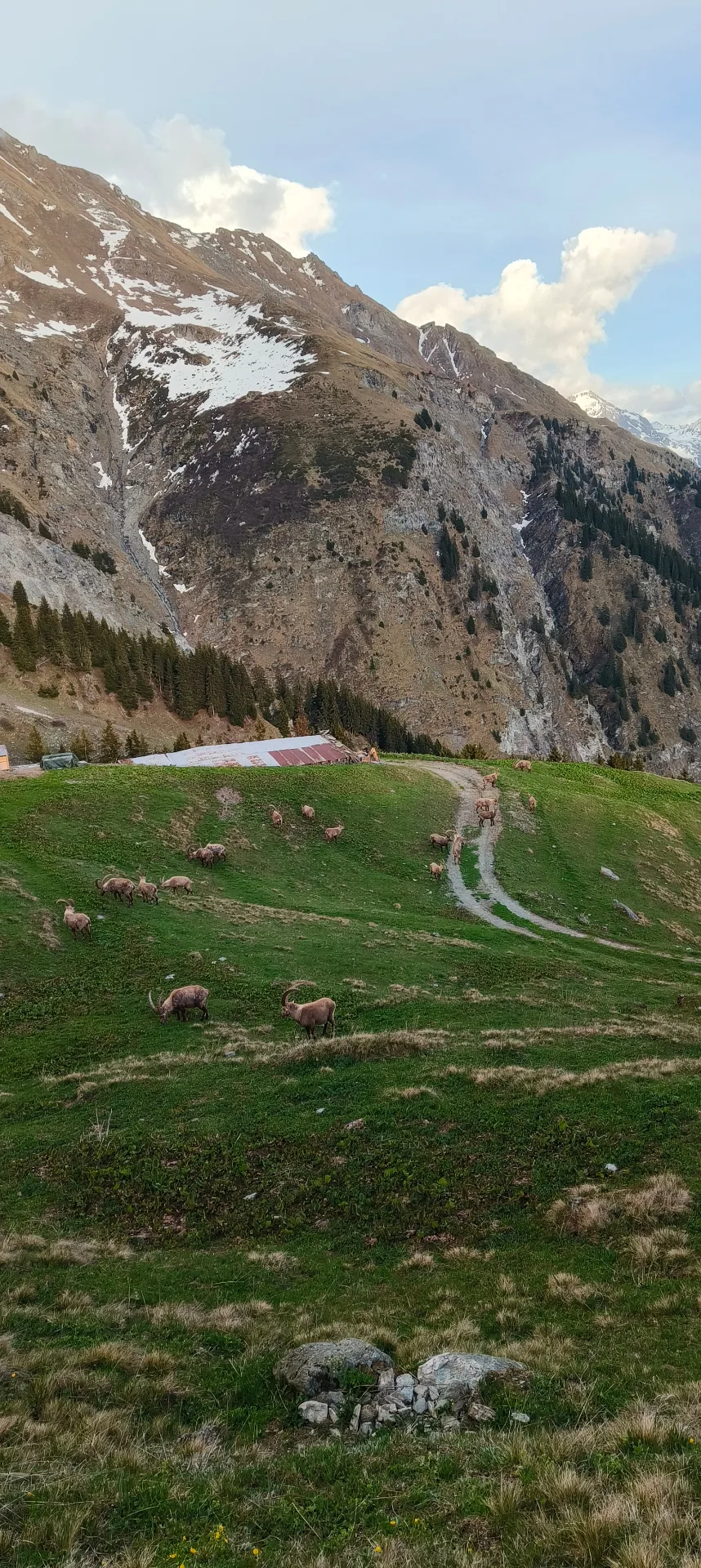
Hike · Val de Bagnes
Chez Dany
At a glance
- Distance
- 6.48 km
- Climb
- 533 m
- Descent
- 546 m
- Highest point
- 1929 m
- Loop
- yes
- Starts from the chalet
- yes
- Estimated time
- 3 h
Estimated time: 1 h per 4 km plus 1 h per 400 m of climb, rounded to the nearest 30 minutes.
The route
You set off from the chalet door, at around 1,530 m. The track climbs north through the pastures: this is the main climb, just over 500 m.
The high point, around 1,930 m, comes after about 3.8 km. The descent then leads back to the chalet on the same slope, for a 6.5 km loop.
When to go
Usually from June to October, with a high point close to 1,930 m.
Snow cover varies from year to year: check conditions before you go.
Distance
6.48 km
Ascent
533 m
Descent
546 m
Max altitude
1929 m
Distance and elevation computed from the GPX track.
Walk to the famous restaurant Chez Dany
Route map
Your base camp in Sarreyer
Le Gypaète is a chalet for 6 in the heart of Val de Bagnes. Come back from your hike to the stove and a terrace facing the mountains.
Check availability